
 15
presentation
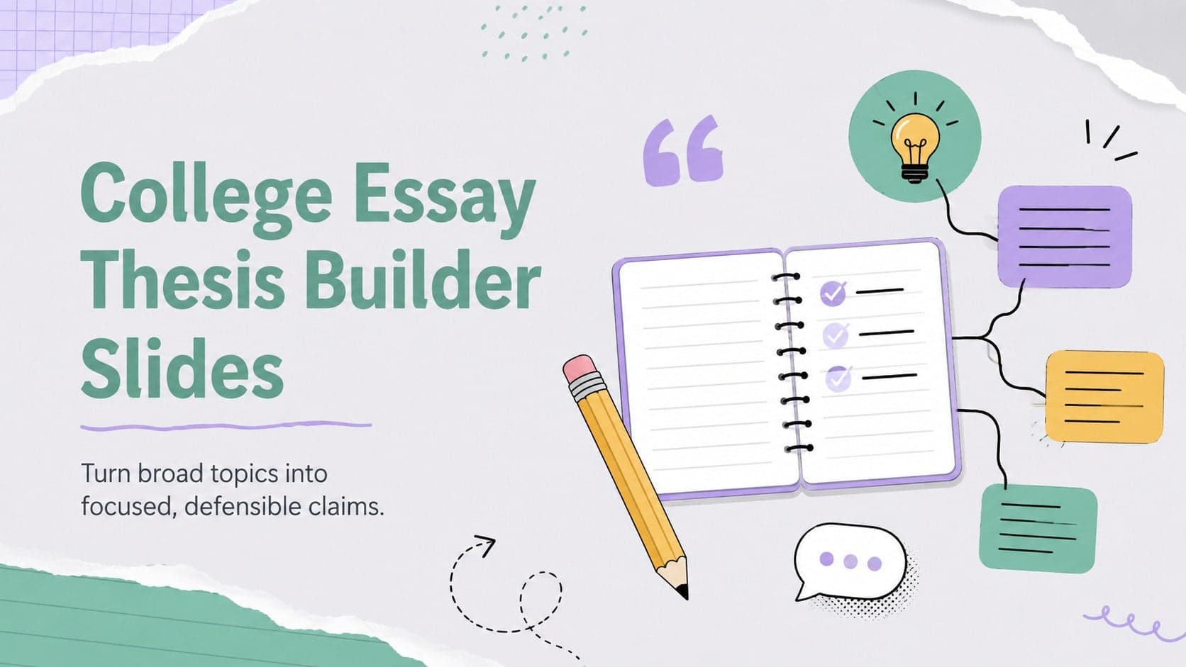
College Essay Thesis Builder Slides
Build stronger academic arguments with a college essay thesis builder featuring guided examples, revision prompts, and editable PowerPoint and Google Slides.
Google SlidesPowerPoint
presentation · English
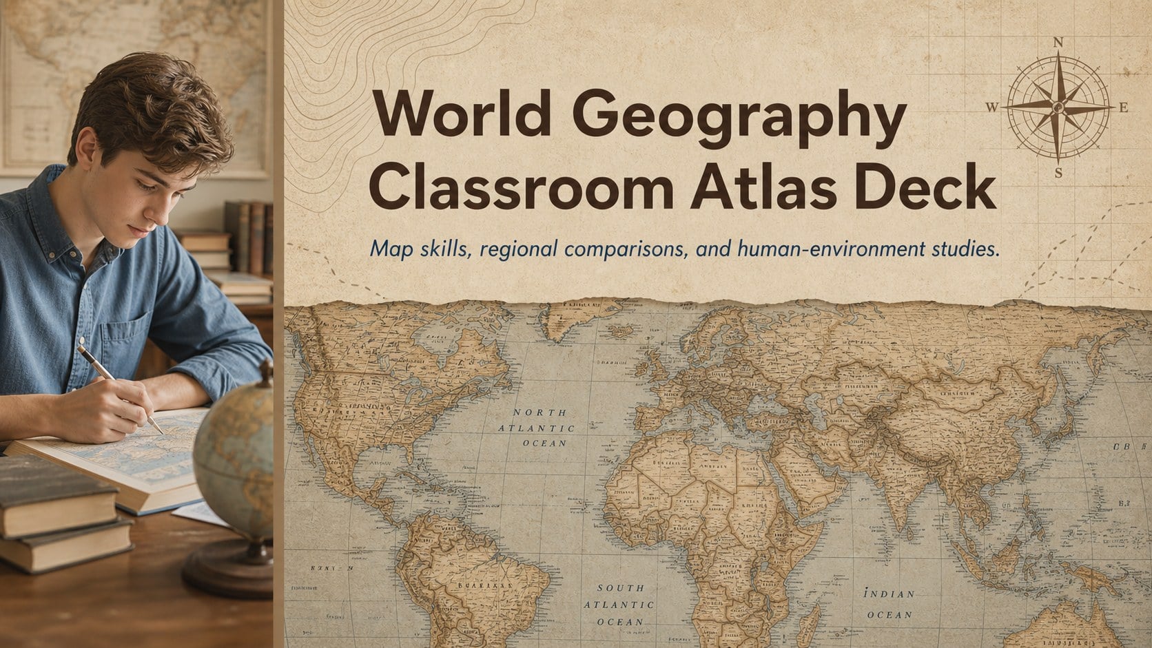
Build map-reading and spatial-thinking lessons with a World Geography Classroom Atlas Deck for high school and college in vintage brown and blue.
Design notes
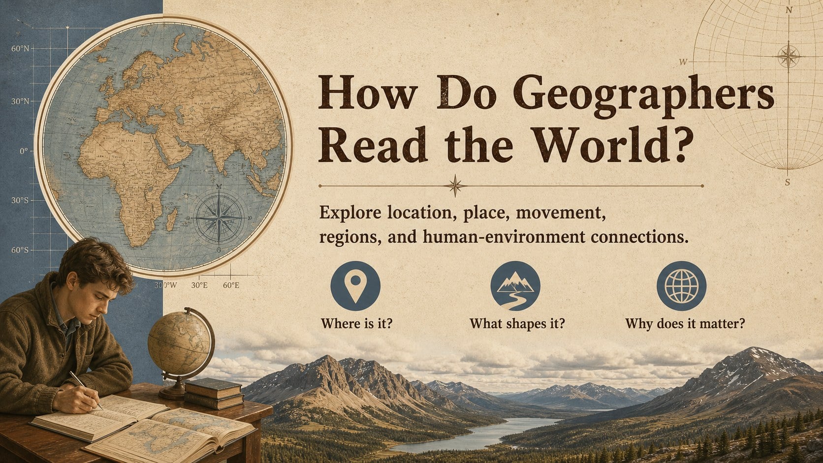
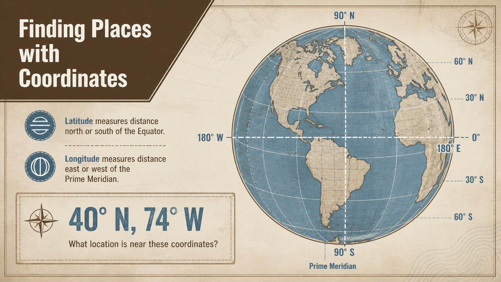
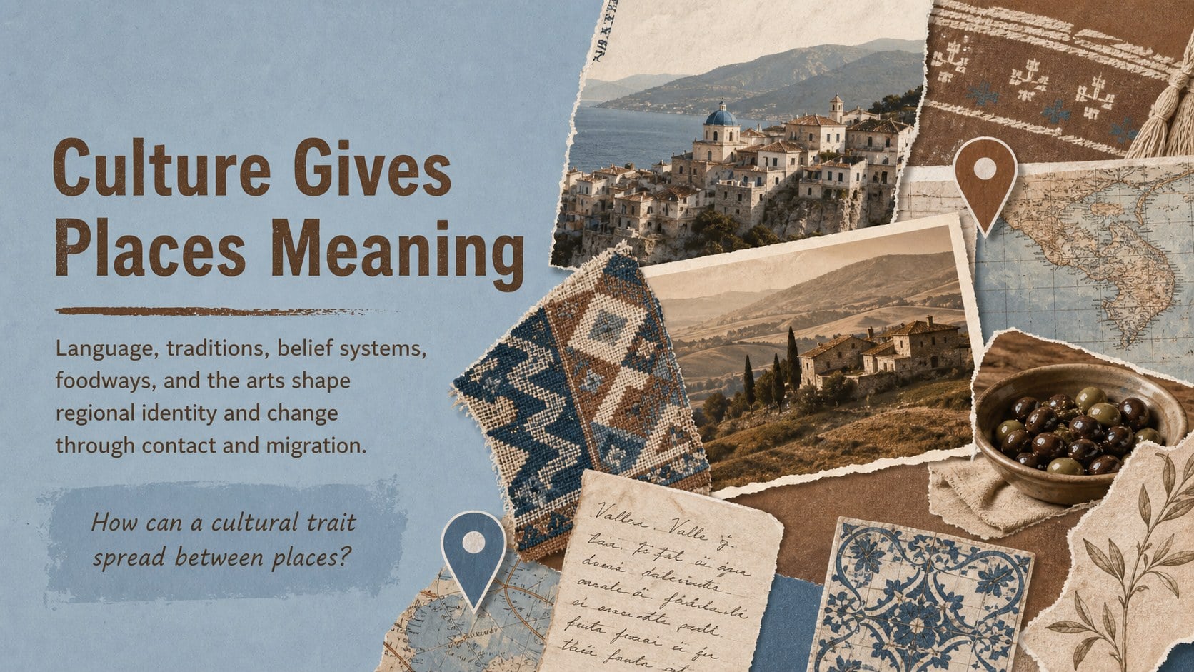
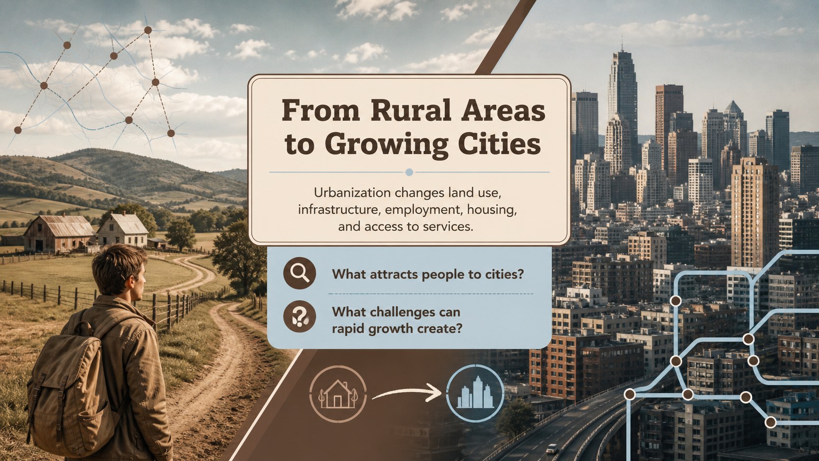
The World Geography Classroom Atlas Deck gives educators a structured way to explain places, patterns, and connections across the globe. Its restrained brown and blue palette, archival character, and photo-led layouts create the feel of a modern field notebook while keeping maps, labels, and discussion points easy to follow.
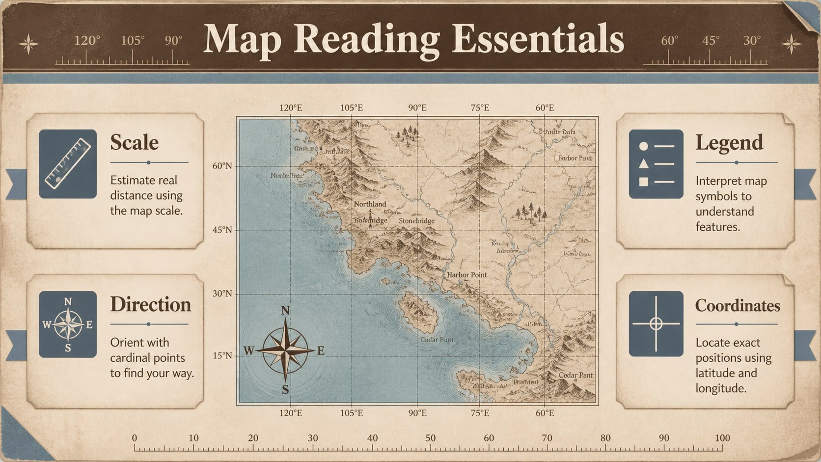
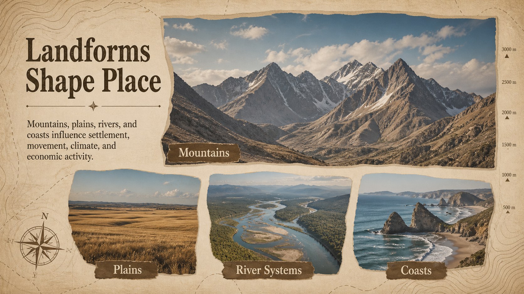
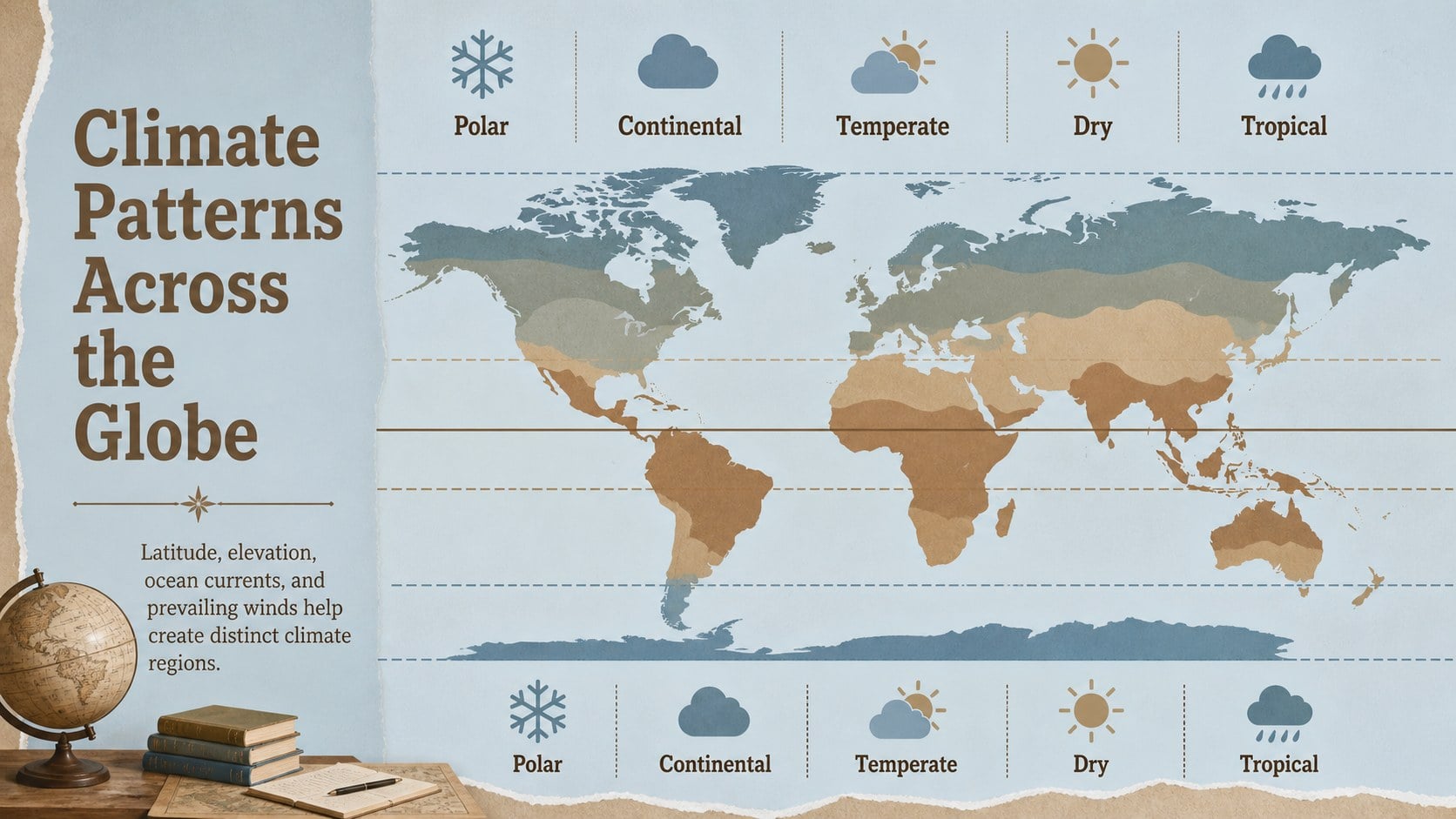
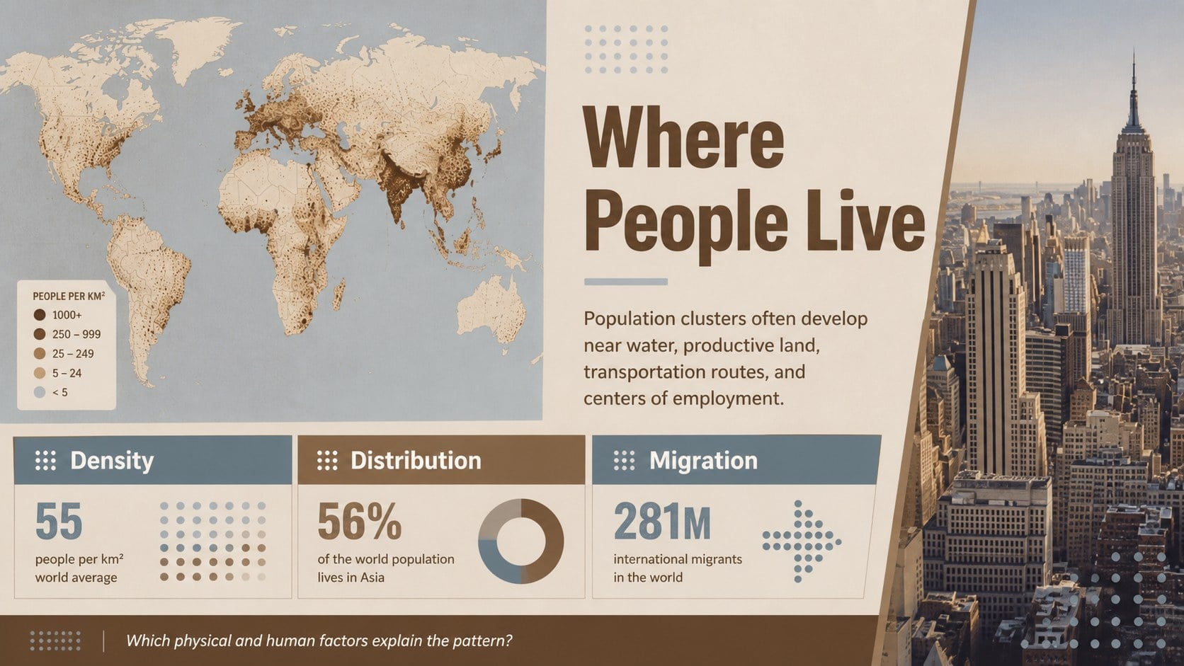
Inside, you will find adaptable layouts for essential questions, map-reading activities, physical landforms, climate zones, population patterns, cultural regions, natural resources, and human-environment interactions. The deck also includes regional comparison pages, a geographic case study, fieldwork observations, knowledge checks, and a closing reflection. Use it as a vintage geography presentation template for a complete unit or select individual layouts for shorter lectures.
This map reading lesson slides collection is suited to high school geography teachers, college instructors, homeschool educators, and students preparing research presentations. Photos can be replaced with images from a chosen region, while map labels, captions, data points, and questions can be edited for different ability levels. The physical and human geography deck works in PowerPoint and Google Slides, making it practical for classroom projection, independent assignments, collaborative projects, and online instruction. Its minimal visual system leaves room for detailed teaching content without making the slides feel crowded.
Perfect for: high school world geography lesson; college geography lecture; map-reading skills workshop; regional comparison assignment; human-environment case study; student geography research report.
Frequently asked questions
Can I edit the maps, labels, and lesson questions? Yes. All text, labels, captions, colors, and lesson prompts can be adjusted for your curriculum. You can also replace the photos and map graphics with material focused on a particular country or region.
Practical details
Yes. All text, labels, captions, colors, and lesson prompts can be adjusted for your curriculum. You can also replace the photos and map graphics with material focused on a particular country or region.
The template is designed for PowerPoint and Google Slides. After opening it in your preferred platform, you can present it directly or export it to a standard sharing format.
Yes. The layouts support landforms, climate, ecosystems, population, culture, settlement, resources, and human-environment relationships. Slides can be reordered or duplicated to match the scope of your lesson.
Yes. Students can use the regional comparison, case study, field observation, and reflection layouts for individual or group work. Instructors can simplify the prompts or add more detailed research requirements.
Keep exploring
15Build stronger academic arguments with a college essay thesis builder featuring guided examples, revision prompts, and editable PowerPoint and Google Slides.
 15
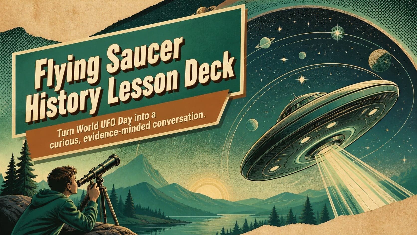
Build an engaging World UFO Day session with this flying saucer history lesson deck, featuring retro green-and-brown slides for PowerPoint and Google Slides.
 14
Plan a memorable Lunar New Year campaign with the 2036 Dragon Year Celebration Theme, featuring bold red-and-yellow slides for lessons and events.
 15
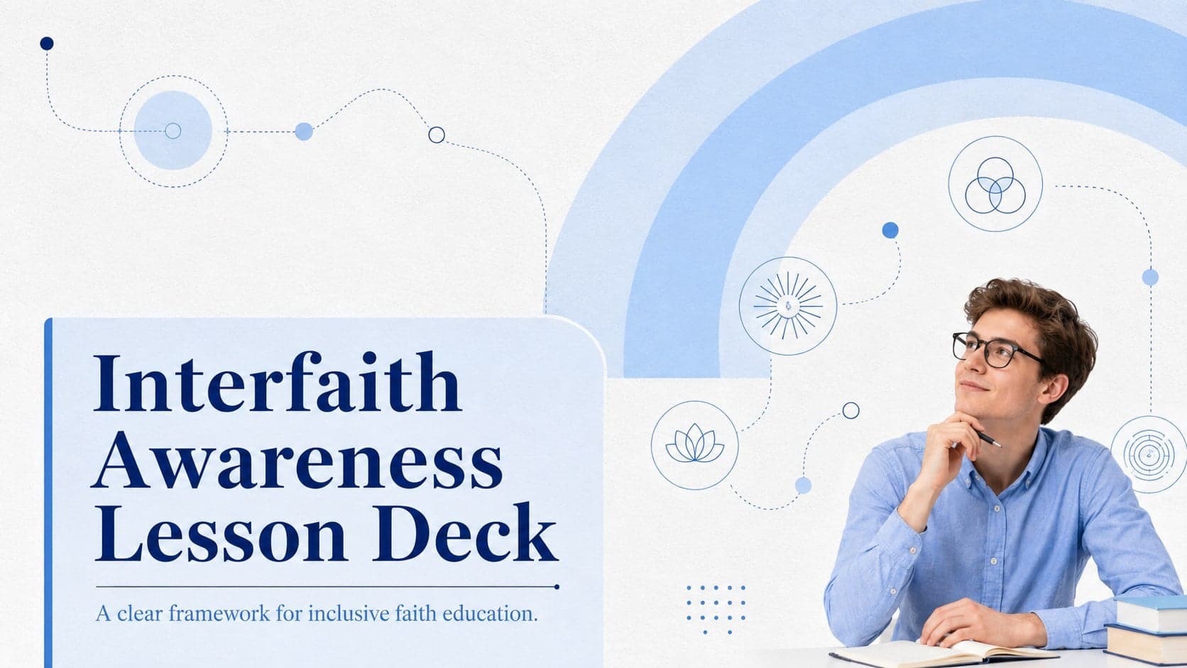
Build a thoughtful classroom discussion with this interfaith awareness lesson deck, featuring editable blue-and-white slides for PowerPoint and Google Slides.
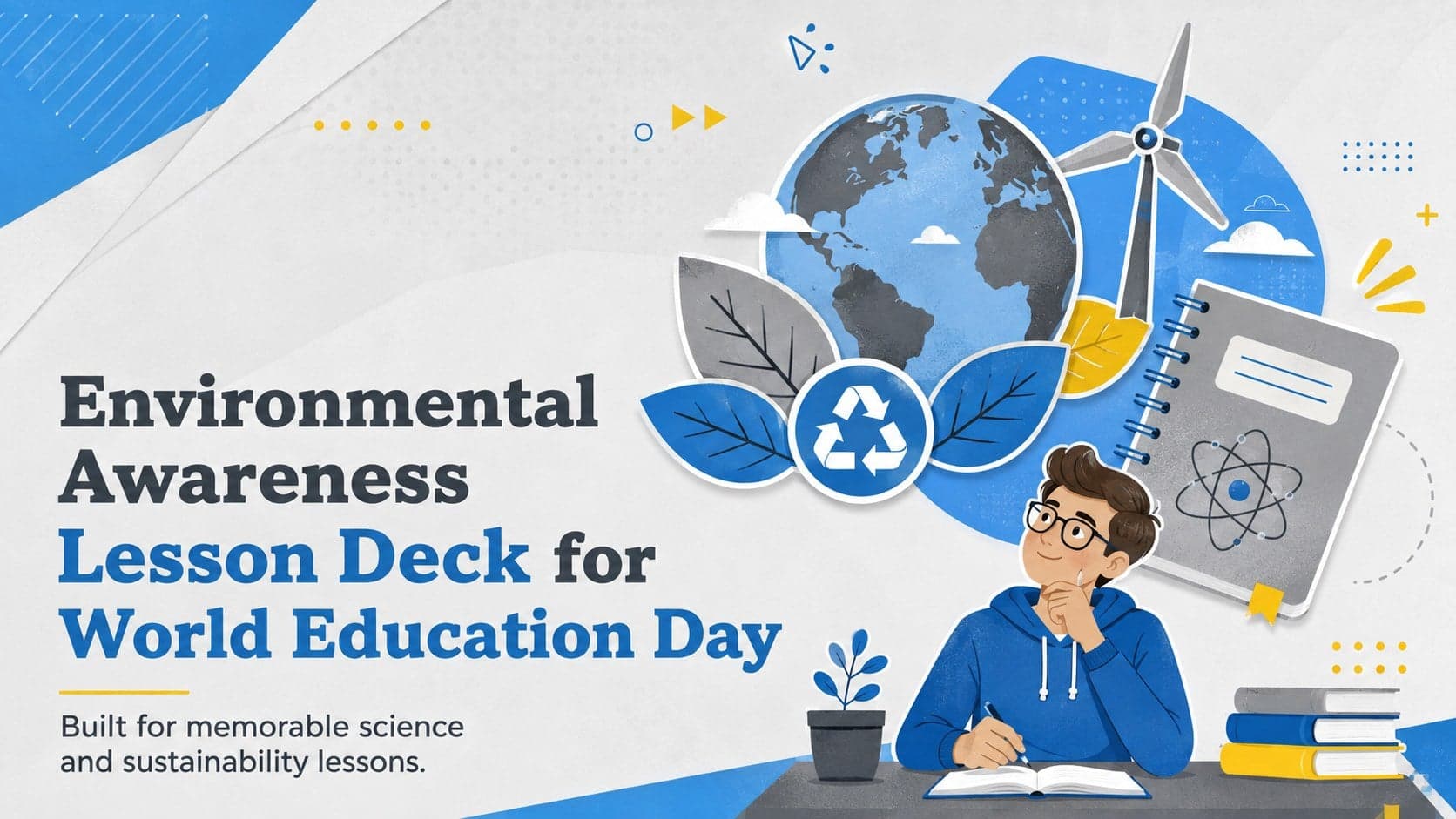 15
Use this environmental awareness lesson deck to teach climate action through illustrated activities, discussion prompts, and ready-to-edit visuals.
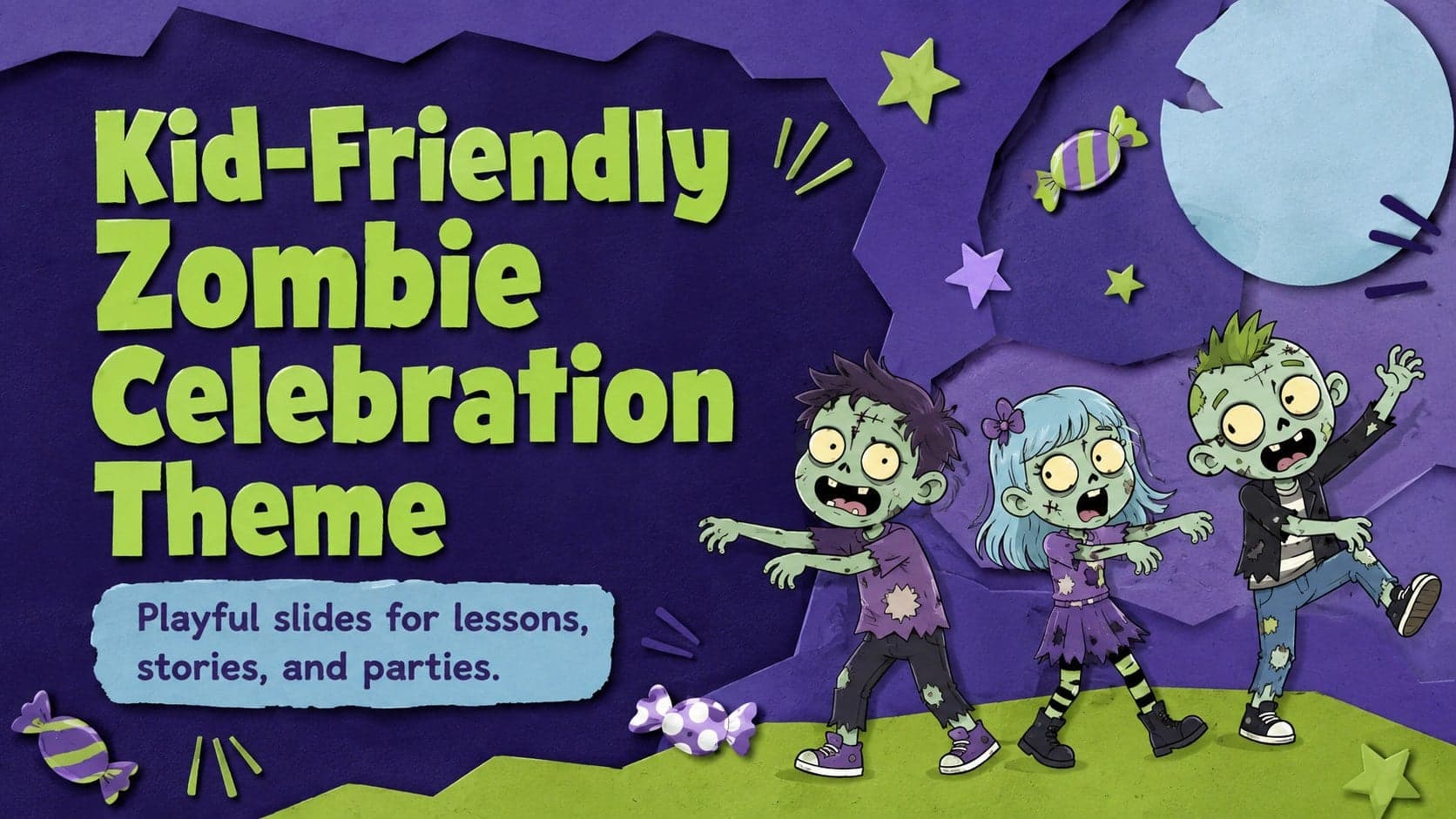 15
Build playful lessons and party stories with a kid-friendly zombie celebration theme in purple, green and pastel blue for PowerPoint and Google Slides.
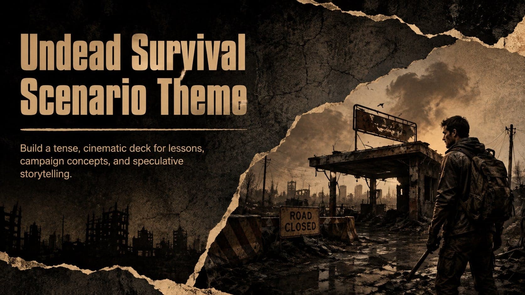 15
Build eerie lessons, campaigns, and story pitches with an undead survival scenario theme featuring editable slides for PowerPoint and Google Slides.
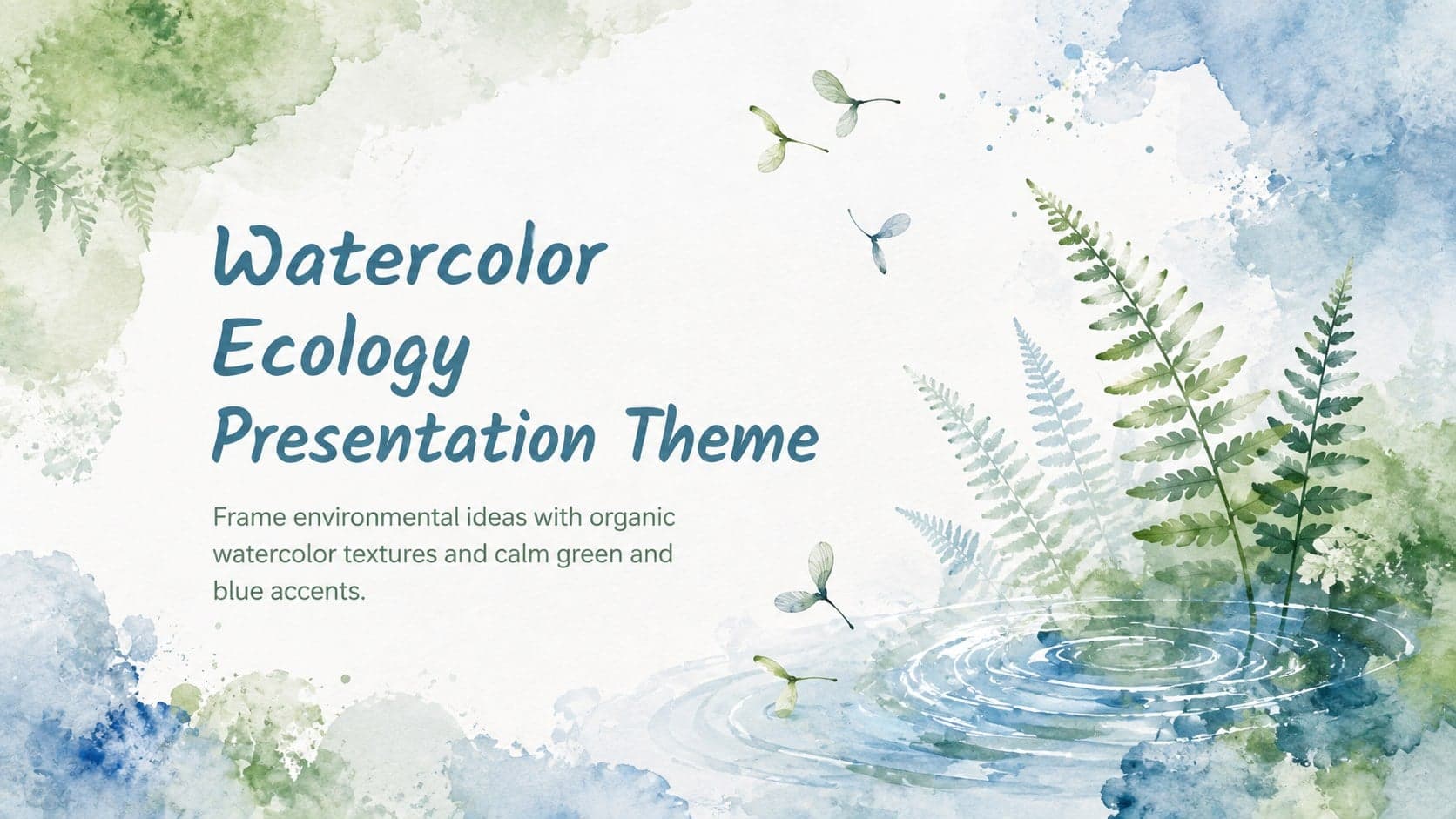 16
Turn environmental research into a clear story with a Watercolor Ecology Presentation Theme for PowerPoint and Google Slides in calming green and blue.