
 15
15presentation
College Essay Thesis Builder Slides
Build stronger academic arguments with a college essay thesis builder featuring guided examples, revision prompts, and editable PowerPoint and Google Slides.
Google SlidesPowerPoint
presentation · English
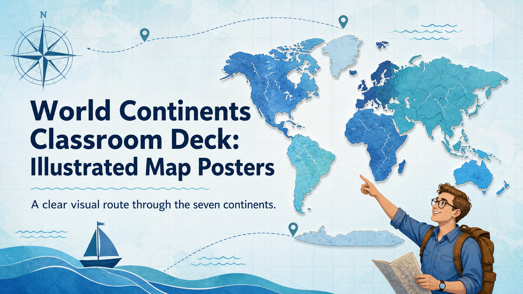
Turn geography lessons into visual journeys with a world continents classroom deck featuring editable blue map posters for PowerPoint and Google Slides.
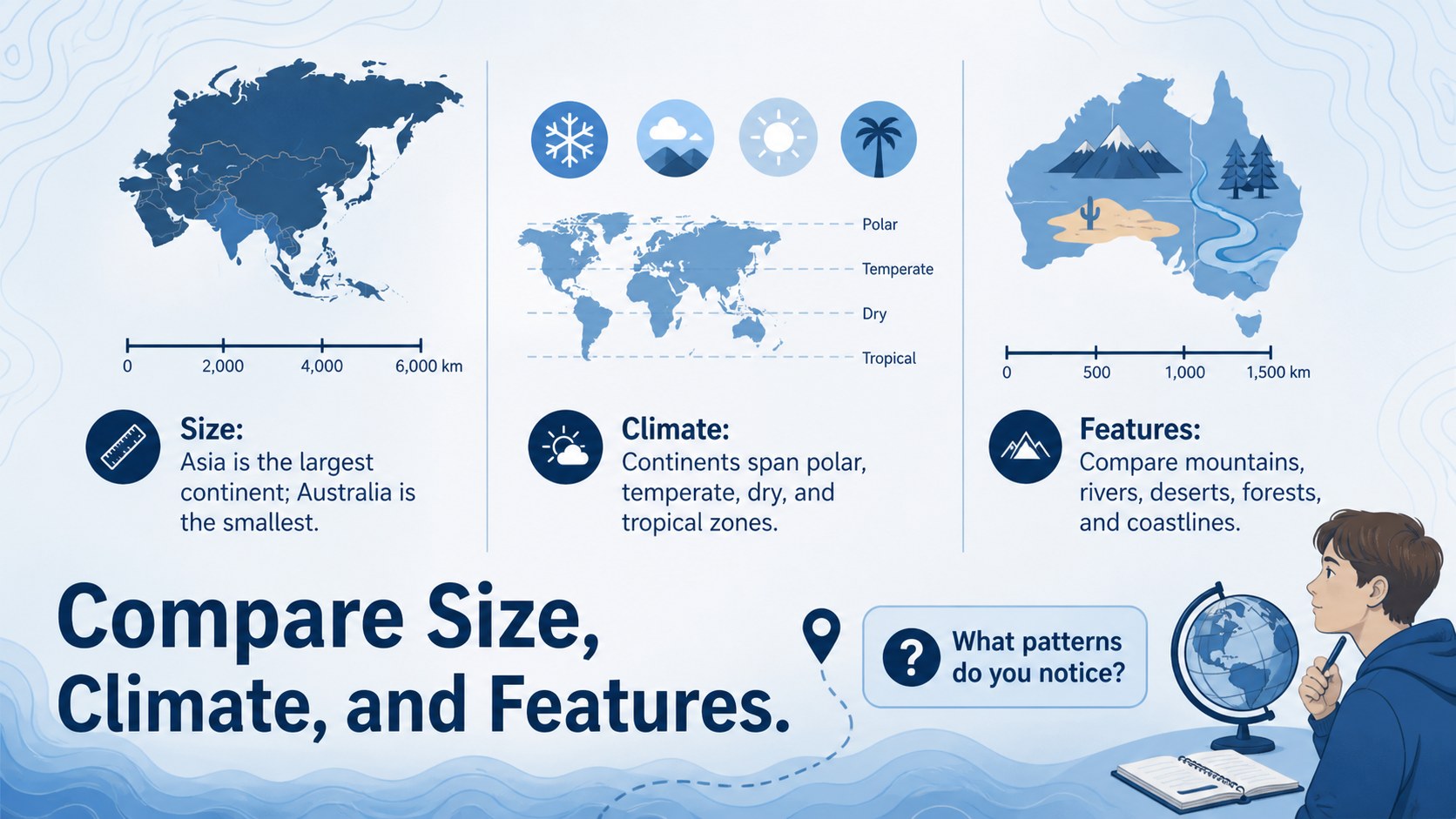
Design notes
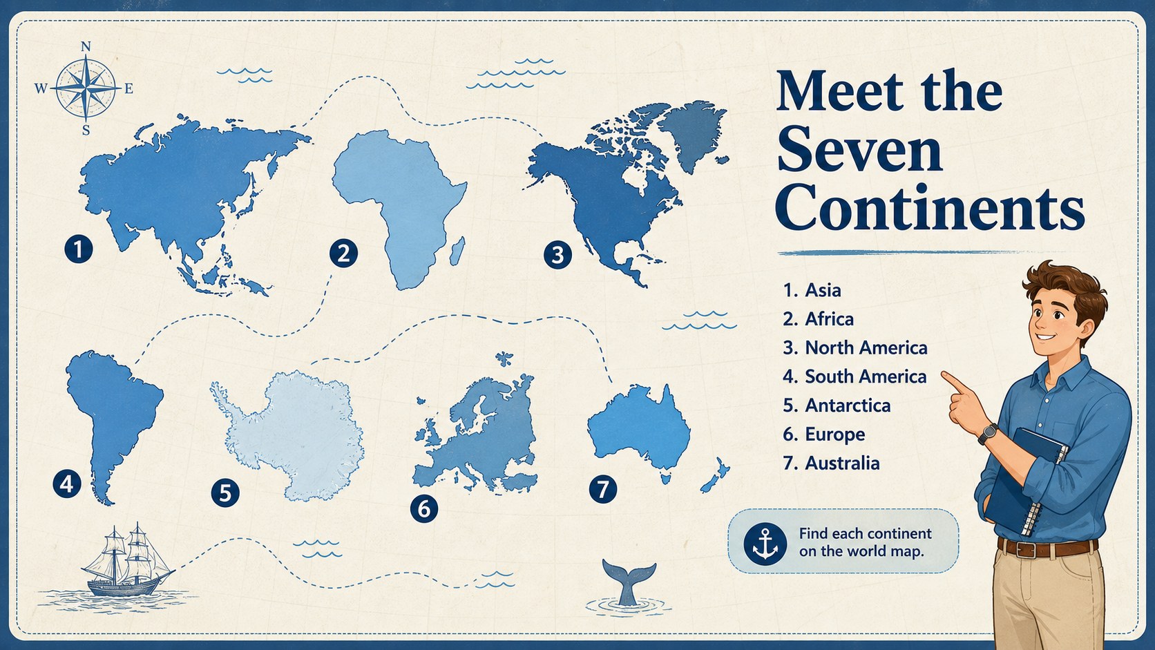
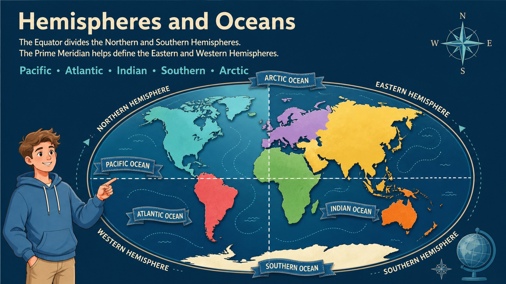
Give students a structured introduction to global geography with this world continents classroom deck. Four illustrated layouts combine blue cartographic details, readable labels, and simple facts to help learners recognize each continent and understand its place on the world map. The calm visual style works equally well on a classroom screen or as a printed reference.
Inside, teachers will find editable continent map posters, a seven-continent overview, a hemisphere and ocean guide, and a comparison layout for size, climate, and notable features. Every slide can be adapted with new labels, regional facts, discussion questions, or vocabulary. Shapes, text, map graphics, and colors are easy to update in PowerPoint and Google Slides.
Use these seven continents lesson slides for elementary geography units, middle school review, homeschool activities, or international studies displays. The concise text and illustrated maps make the material approachable for visual learners without overwhelming the page. Teachers can present the complete sequence, assign individual posters to student groups, or build a blue geography presentation for teachers around a specific region. Add local examples, country names, landmarks, migration routes, or environmental topics to connect continental geography with history, culture, and current events.
Perfect for: seven continents geography lesson; classroom map display; homeschool world studies unit; continental comparison activity; geography review session.
Frequently asked questions
Can I edit the continent names and facts? Yes. The headings, labels, fact boxes, colors, and supporting text can be changed to match your curriculum or student age group.
Practical details
Yes. The headings, labels, fact boxes, colors, and supporting text can be changed to match your curriculum or student age group.
The slides are designed for PowerPoint and Google Slides. Layouts and text remain editable in both platforms.
Yes. Export individual slides as PDF or image files before printing. Check your printer settings and scale the page to the required display size.
Shorten the fact boxes, enlarge the labels, and focus on continent names, shapes, and locations. You can also add familiar animals, landmarks, or climate symbols as visual cues.
Keep exploring
15Build stronger academic arguments with a college essay thesis builder featuring guided examples, revision prompts, and editable PowerPoint and Google Slides.
 15
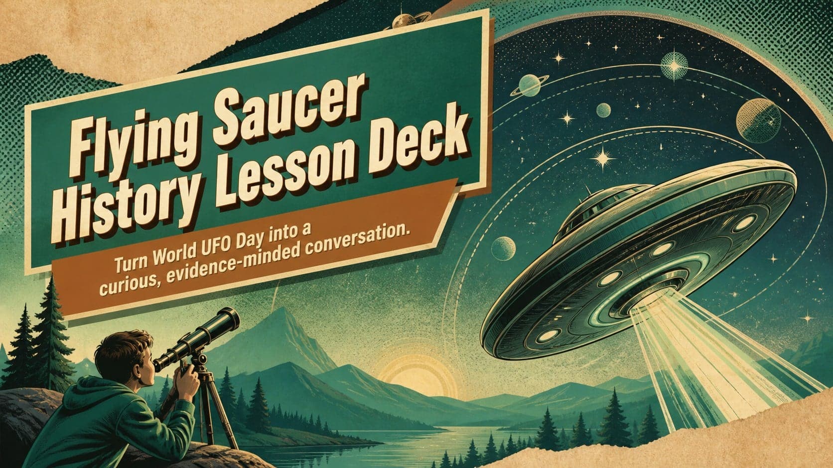
15Build an engaging World UFO Day session with this flying saucer history lesson deck, featuring retro green-and-brown slides for PowerPoint and Google Slides.
 14
14Plan a memorable Lunar New Year campaign with the 2036 Dragon Year Celebration Theme, featuring bold red-and-yellow slides for lessons and events.
 15
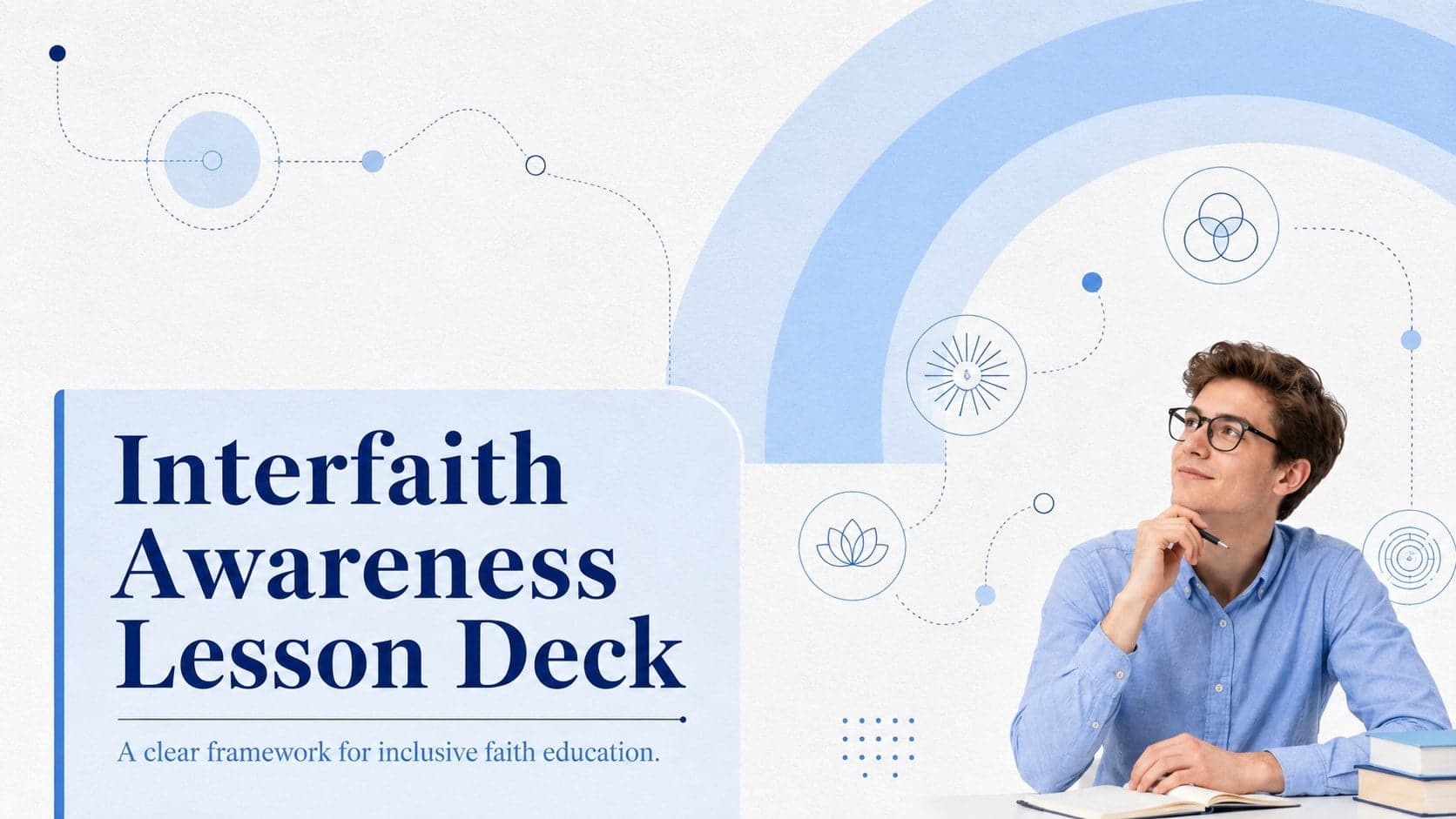
15Build a thoughtful classroom discussion with this interfaith awareness lesson deck, featuring editable blue-and-white slides for PowerPoint and Google Slides.
 15
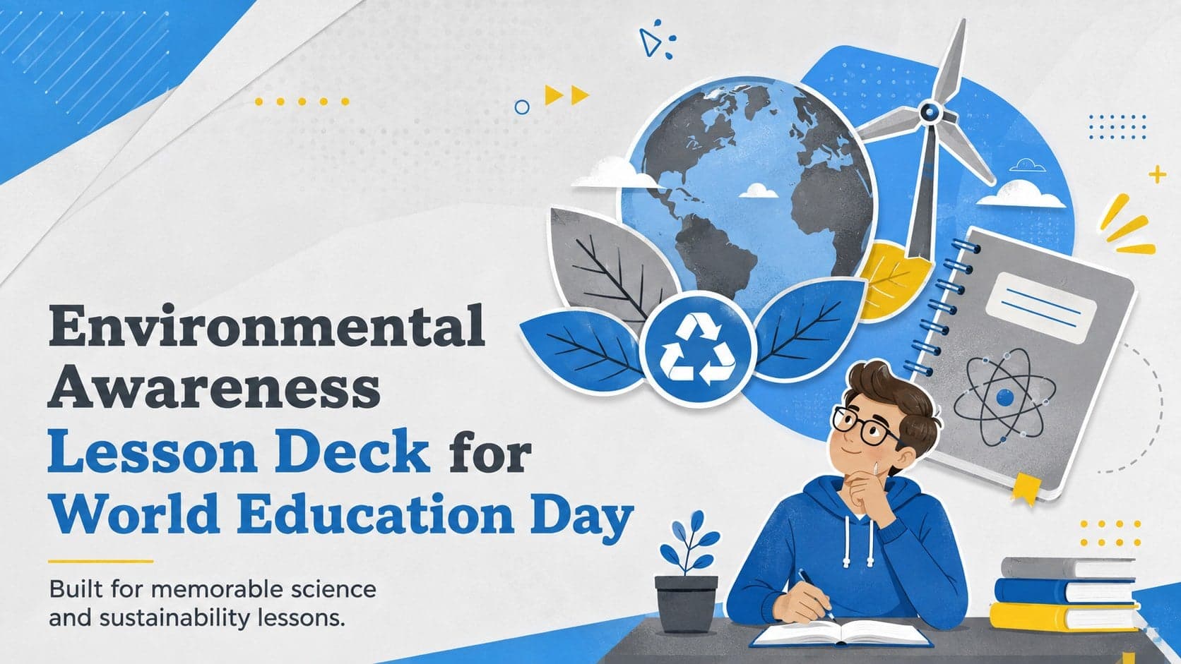
15Use this environmental awareness lesson deck to teach climate action through illustrated activities, discussion prompts, and ready-to-edit visuals.
 15
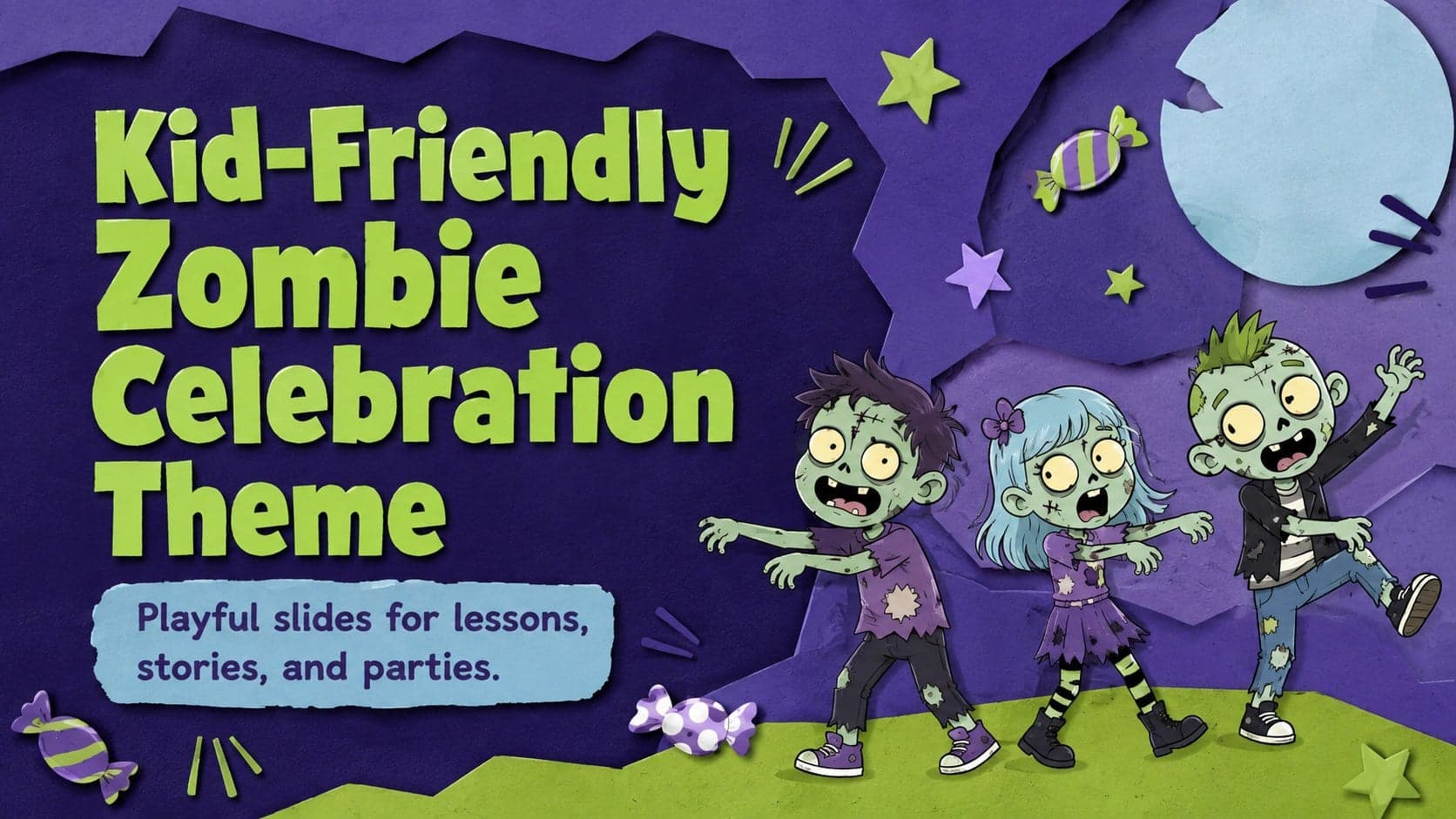
15Build playful lessons and party stories with a kid-friendly zombie celebration theme in purple, green and pastel blue for PowerPoint and Google Slides.
 15
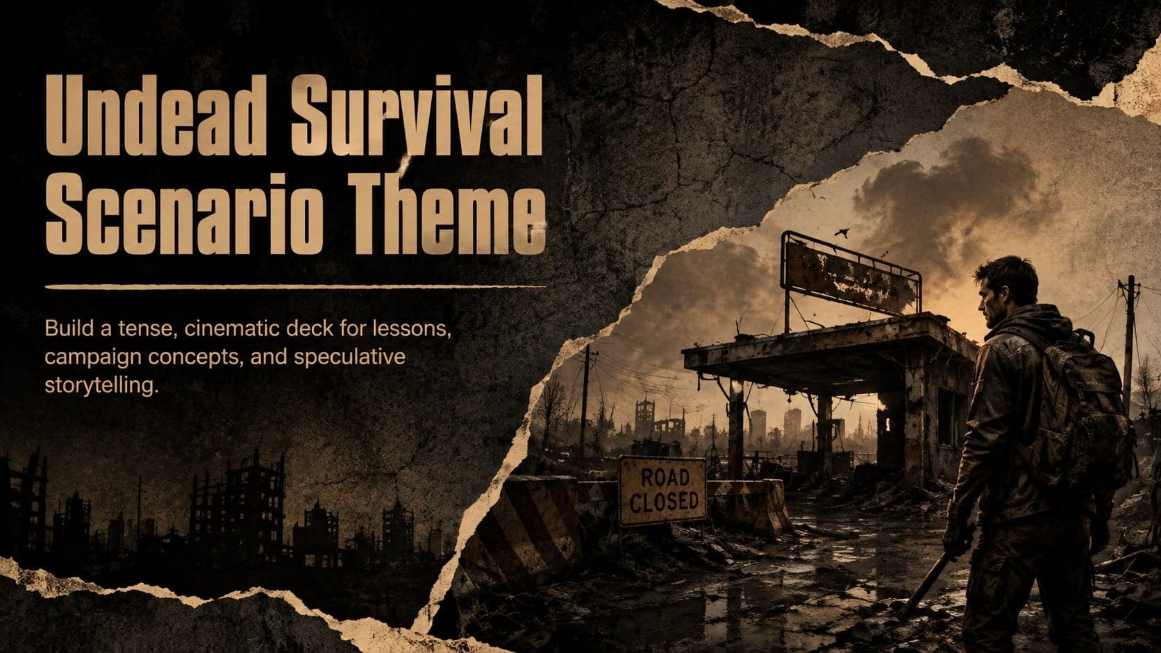
15Build eerie lessons, campaigns, and story pitches with an undead survival scenario theme featuring editable slides for PowerPoint and Google Slides.
 16
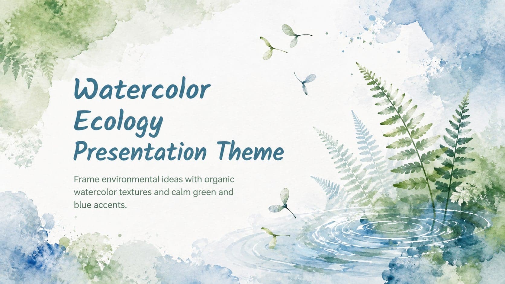
16Turn environmental research into a clear story with a Watercolor Ecology Presentation Theme for PowerPoint and Google Slides in calming green and blue.