
 15
presentation
College Essay Thesis Builder Slides
Build stronger academic arguments with a college essay thesis builder featuring guided examples, revision prompts, and editable PowerPoint and Google Slides.
Google SlidesPowerPoint
presentation · English
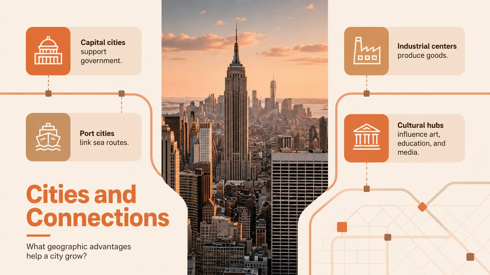
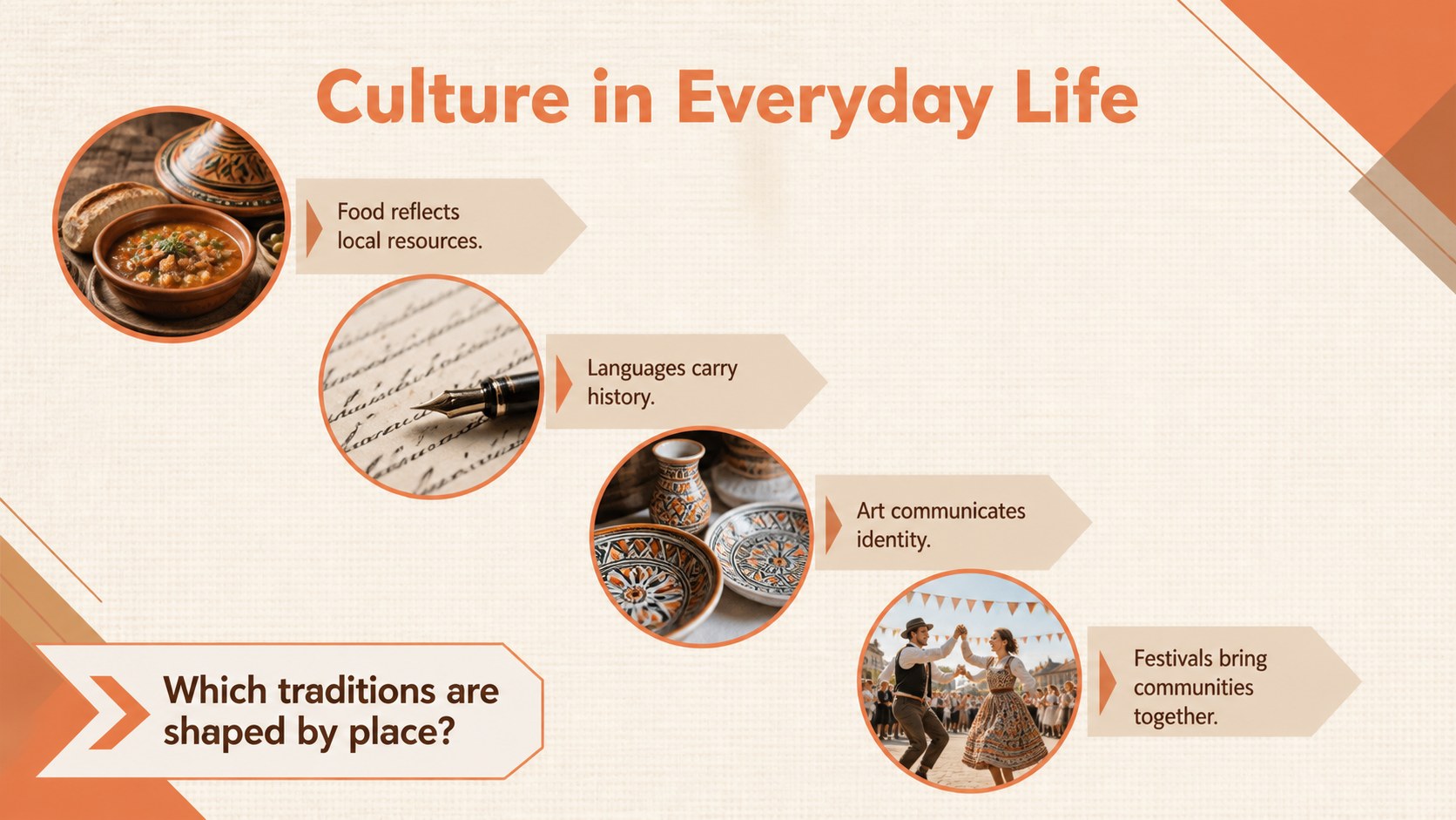
Build memorable continent lessons with a Europe geography photo deck featuring warm orange and beige layouts for students in PowerPoint and Google Slides.
Design notes
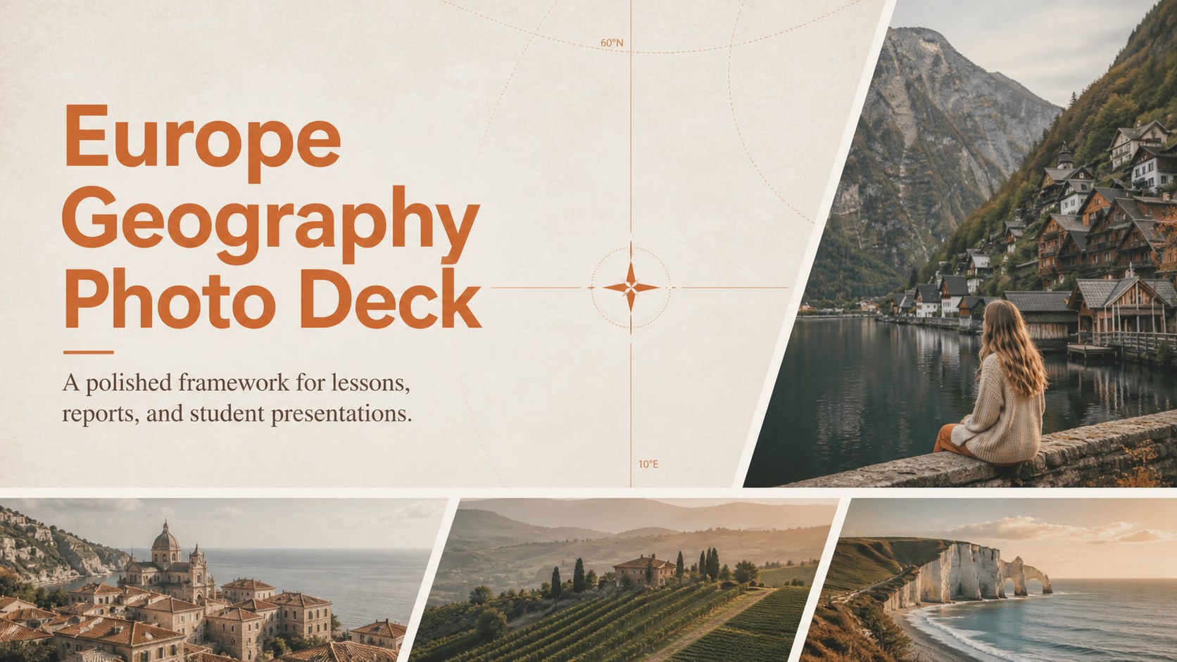
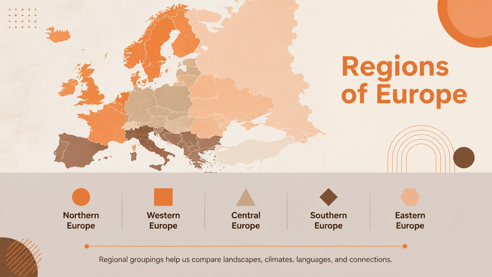
Bring European places and ideas into focus with the Europe Geography Photo Deck, a clean, image-led resource for teaching and presenting the continent. Warm orange, beige, and brown accents give every page an inviting editorial character while leaving maps, photographs, facts, and classroom prompts easy to scan. Use it as a Europe geography presentation for students or adapt it for an independent research project.
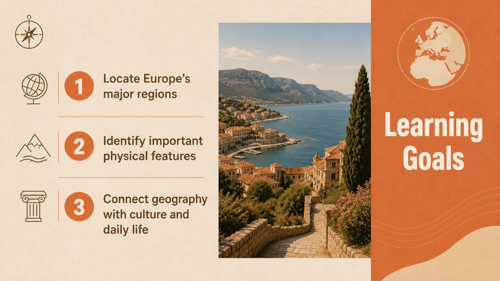
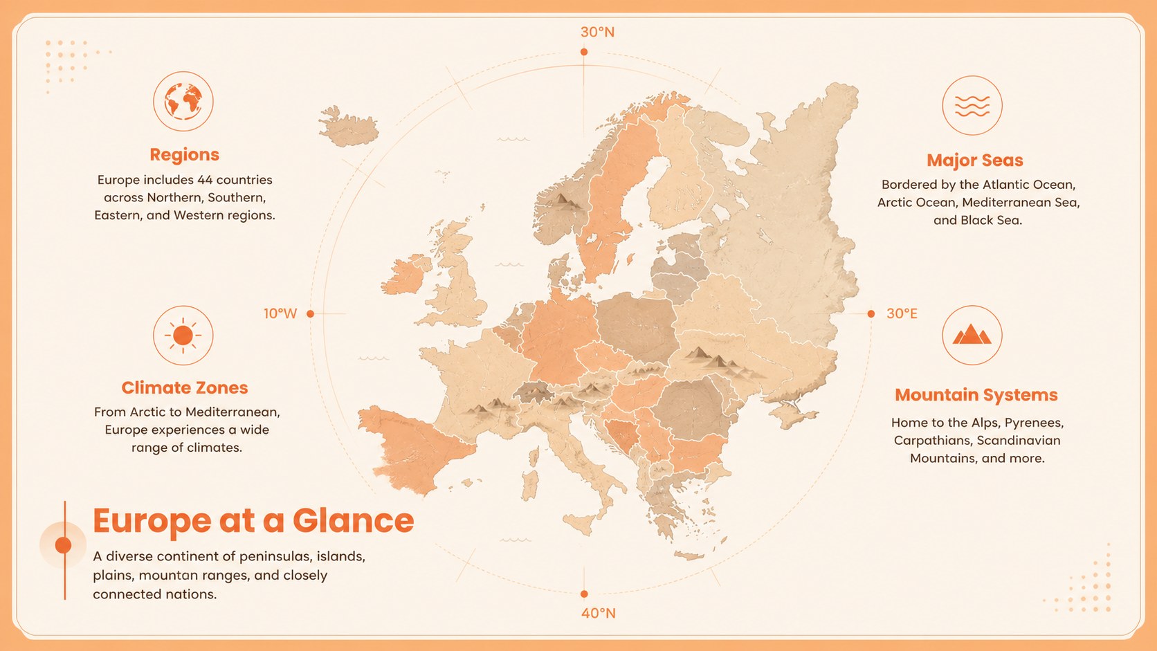
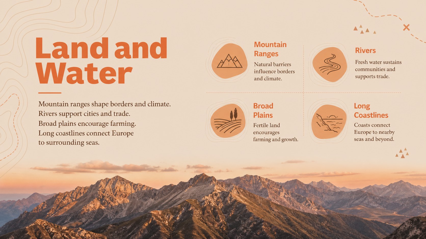
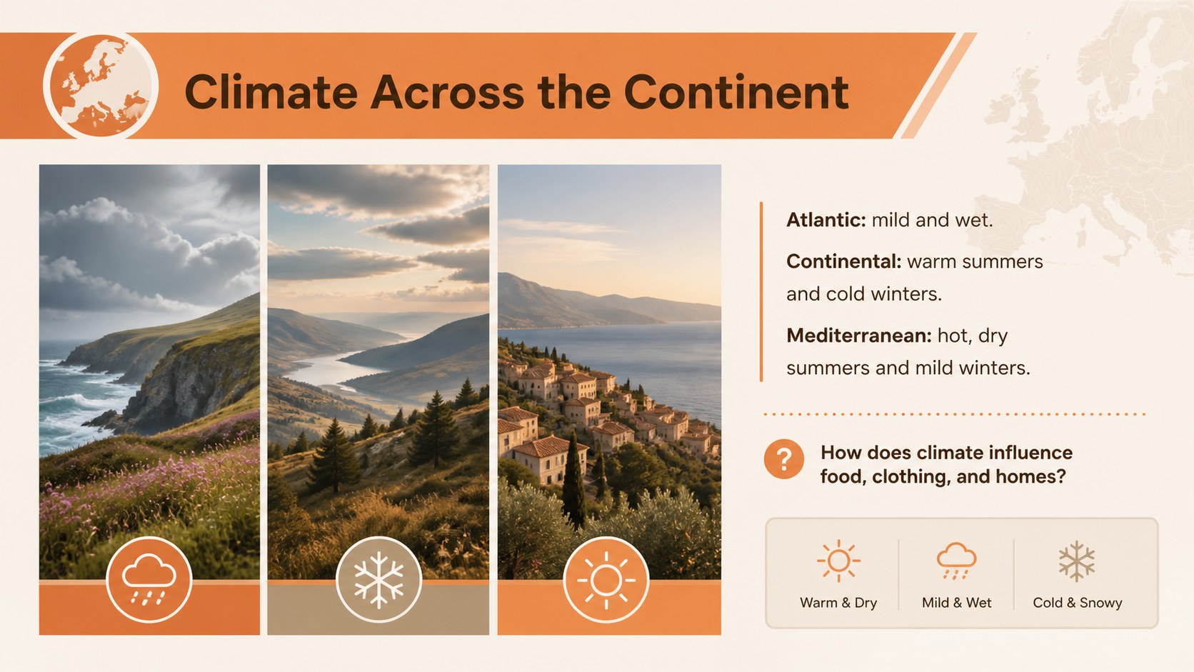
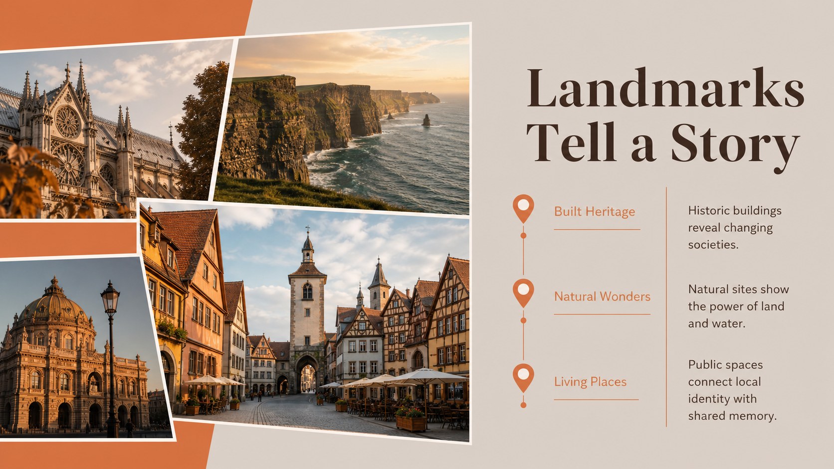
The deck includes layouts for learning goals, regional maps, physical features, climate, major cities, cultural traditions, landmarks, population data, transportation, and country comparisons. Additional pages support timelines, map activities, discussion questions, and knowledge checks. The varied structure makes it equally useful as a Europe continent lesson PowerPoint or as Europe culture and landmarks slides for Google Slides. Photo frames, restrained typography, simple diagrams, and flexible text areas help you combine visual storytelling with clear academic content.
Designed for elementary educators, secondary geography teachers, college instructors, and students, this template can support a single lesson or an extended unit. Replace the sample wording, insert your own photographs and maps, adjust the colors, and reorganize sections to match the age group or curriculum. Every layout is editable in PowerPoint and Google Slides, making the deck practical for classroom projection, online instruction, homework briefings, and student-led reports.
Perfect for: Europe geography classroom lesson; European country research report; Continent unit introduction; Culture and landmarks project; Student map activity; European travel geography briefing.
Frequently asked questions
Can I edit this deck in PowerPoint and Google Slides? Yes. The layouts, text, colors, photographs, and graphic elements can be edited in both PowerPoint and Google Slides. Some font spacing or image cropping may need a minor adjustment when moving between platforms.
Practical details
Yes. The layouts, text, colors, photographs, and graphic elements can be edited in both PowerPoint and Google Slides. Some font spacing or image cropping may need a minor adjustment when moving between platforms.
Shorten the text and emphasize maps and photographs for younger learners, or add statistics, citations, and comparison tasks for advanced classes. Slides can be duplicated, removed, or reordered to match your lesson sequence.
Yes. Replace each image with licensed photographs, map graphics, or classroom materials relevant to the countries being studied. Keep a consistent crop style and use the existing warm accents to preserve the visual system.
Yes. Students can use the section layouts to organize country profiles, landmark reports, cultural research, or regional comparisons. Teachers can also turn the activity and quiz pages into assessment prompts.
Keep exploring
15Build stronger academic arguments with a college essay thesis builder featuring guided examples, revision prompts, and editable PowerPoint and Google Slides.
 15
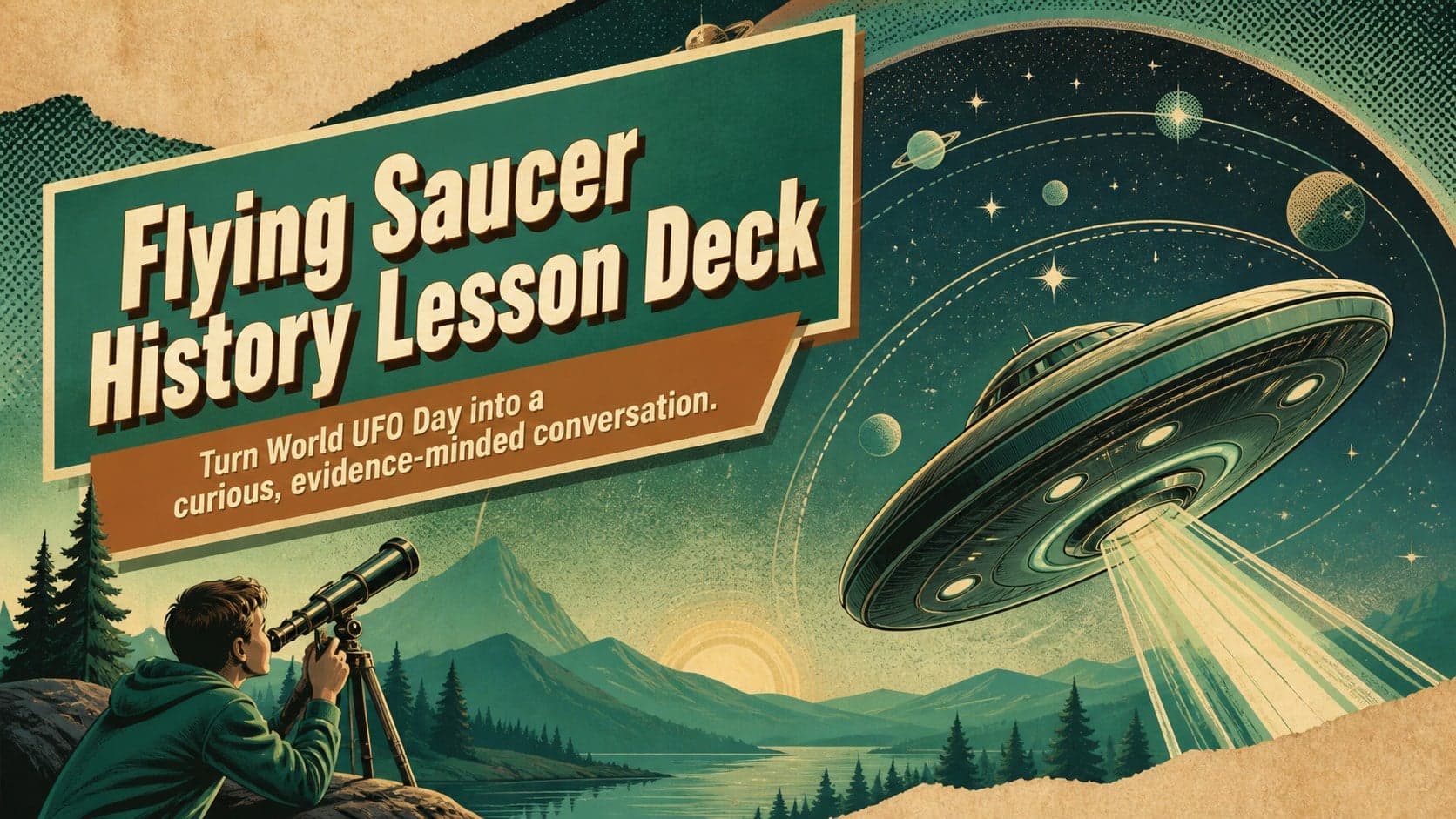
Build an engaging World UFO Day session with this flying saucer history lesson deck, featuring retro green-and-brown slides for PowerPoint and Google Slides.
 14
Plan a memorable Lunar New Year campaign with the 2036 Dragon Year Celebration Theme, featuring bold red-and-yellow slides for lessons and events.
 15
Build a thoughtful classroom discussion with this interfaith awareness lesson deck, featuring editable blue-and-white slides for PowerPoint and Google Slides.
 15
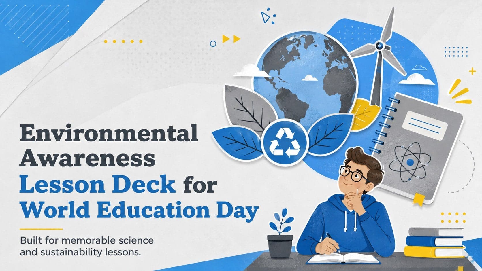
Use this environmental awareness lesson deck to teach climate action through illustrated activities, discussion prompts, and ready-to-edit visuals.
 15
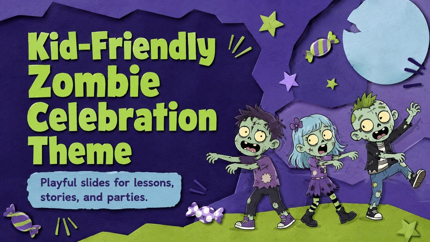
Build playful lessons and party stories with a kid-friendly zombie celebration theme in purple, green and pastel blue for PowerPoint and Google Slides.
 15
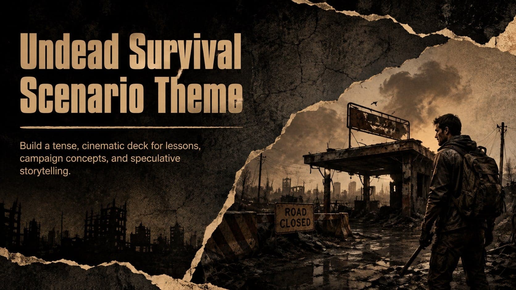
Build eerie lessons, campaigns, and story pitches with an undead survival scenario theme featuring editable slides for PowerPoint and Google Slides.
 16
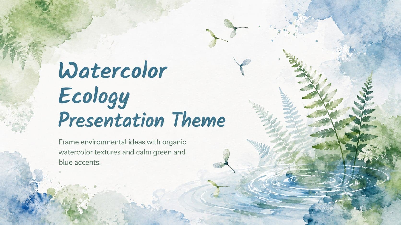
Turn environmental research into a clear story with a Watercolor Ecology Presentation Theme for PowerPoint and Google Slides in calming green and blue.