
 15
presentation
College Essay Thesis Builder Slides
Build stronger academic arguments with a college essay thesis builder featuring guided examples, revision prompts, and editable PowerPoint and Google Slides.
Google SlidesPowerPoint
presentation · English
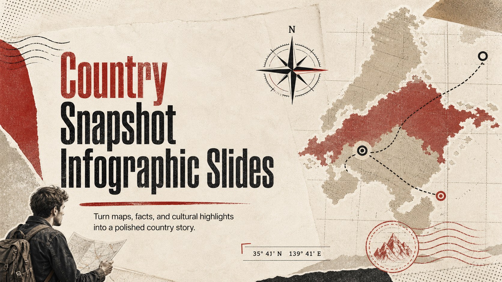
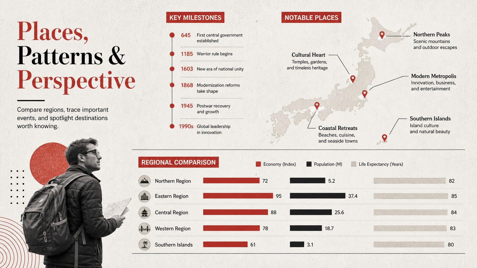
Build polished country reports with Country Snapshot Infographic Slides, featuring editable maps, key facts, culture highlights, and travel-ready layouts.
Design notes
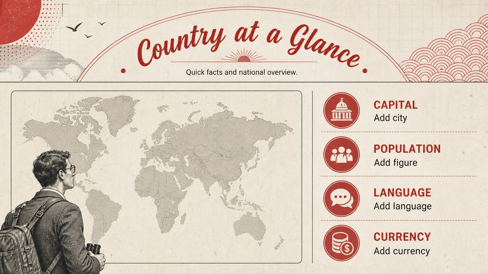
The country snapshot infographic slides turn geographic research into a clear, engaging visual narrative. A warm beige background, strong red accents, and crisp black typography give the deck a vintage editorial character while keeping maps, statistics, and cultural details easy to scan. Adapt the layouts to introduce any nation, region, or travel destination.
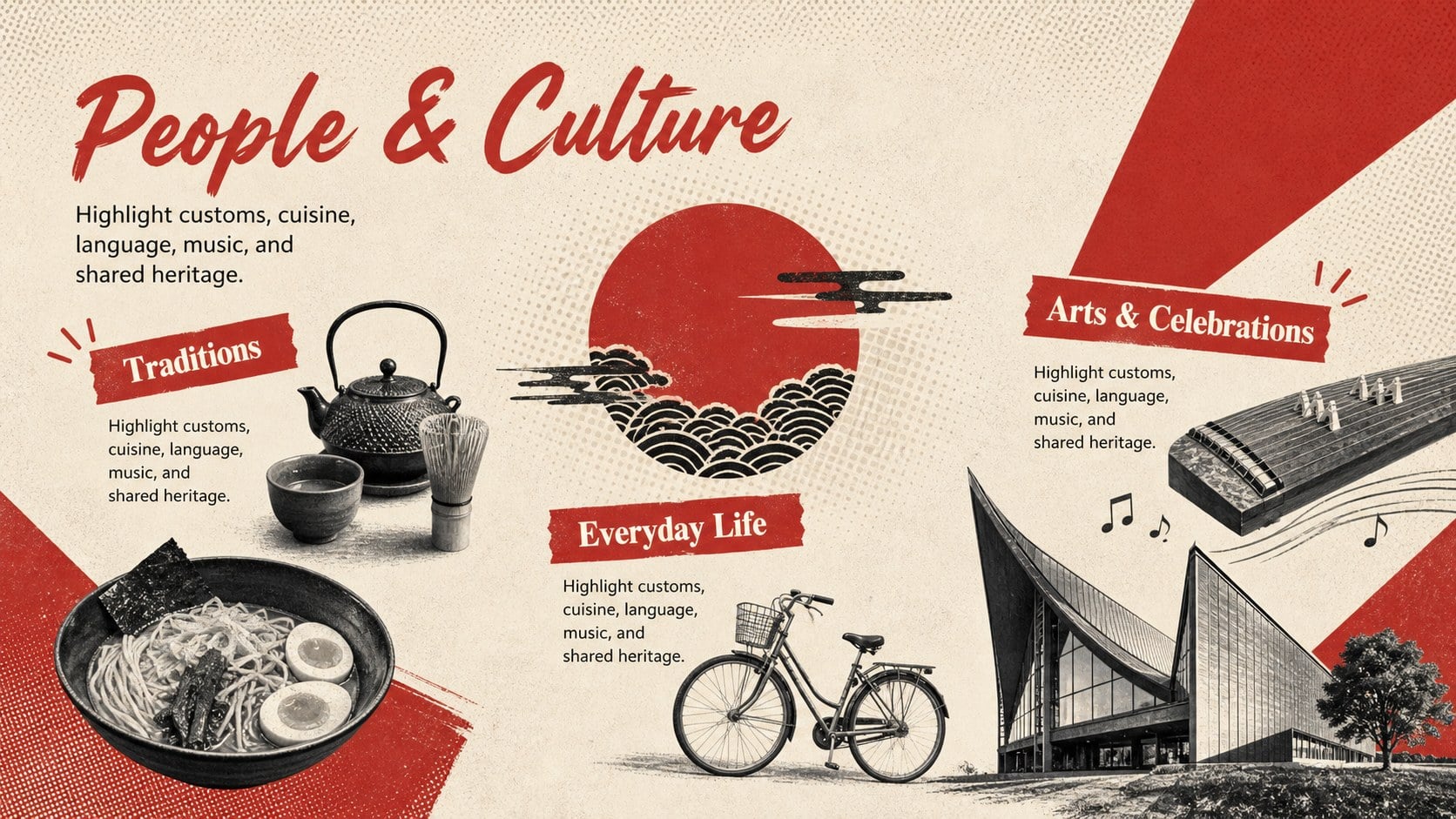
Inside, you will find structured areas for a country overview, capital and population facts, language and currency details, cultural traditions, notable places, and regional comparisons. Map panels, compact charts, timelines, icons, and fact blocks provide flexible ways to organize information without crowding the page. Use the deck as an editable country profile presentation, a classroom country report template, or a travel destination profile slides resource. Every element can be recolored, repositioned, or replaced to match the location being featured.
The template is designed for geography teachers, students, travel writers, tourism teams, researchers, and international program coordinators. It works well for classroom reports, cultural briefings, destination introductions, history projects, and global awareness events. Edit the slides in PowerPoint or Google Slides, add your own maps and images, then present digitally or export the finished pages for sharing and printing.
Perfect for: classroom country report; travel destination briefing; cultural studies project; international fair display; geography research presentation.
Frequently asked questions
Which presentation platforms support this template? The template is designed for PowerPoint and Google Slides. Text, colors, maps, icons, and other visual elements can be edited in either platform.
Practical details
The template is designed for PowerPoint and Google Slides. Text, colors, maps, icons, and other visual elements can be edited in either platform.
Yes. Replace the sample country name, map, flag, statistics, cultural notes, and photographs with information for your chosen location.
Adjust the beige, red, and black palette while preserving strong contrast between text and background. You can also replace the typography, borders, icons, and editorial graphics to suit a specific lesson or destination.
Yes. Export the completed presentation as a PDF and select high-quality output for classroom handouts, event displays, or research packets.
Keep exploring
15Build stronger academic arguments with a college essay thesis builder featuring guided examples, revision prompts, and editable PowerPoint and Google Slides.
 15
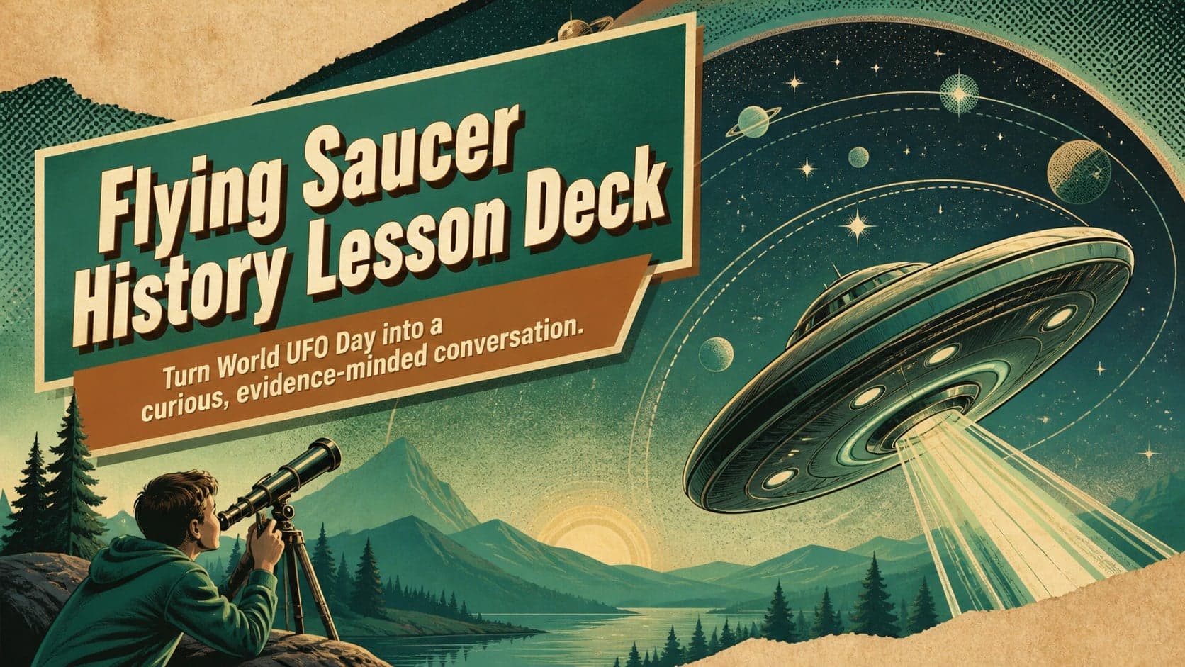
Build an engaging World UFO Day session with this flying saucer history lesson deck, featuring retro green-and-brown slides for PowerPoint and Google Slides.
 14
Plan a memorable Lunar New Year campaign with the 2036 Dragon Year Celebration Theme, featuring bold red-and-yellow slides for lessons and events.
 15
Build a thoughtful classroom discussion with this interfaith awareness lesson deck, featuring editable blue-and-white slides for PowerPoint and Google Slides.
 15
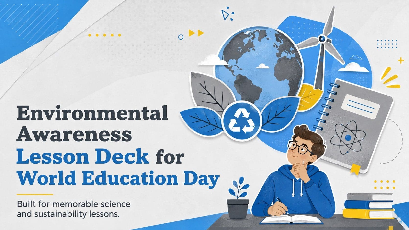
Use this environmental awareness lesson deck to teach climate action through illustrated activities, discussion prompts, and ready-to-edit visuals.
 15
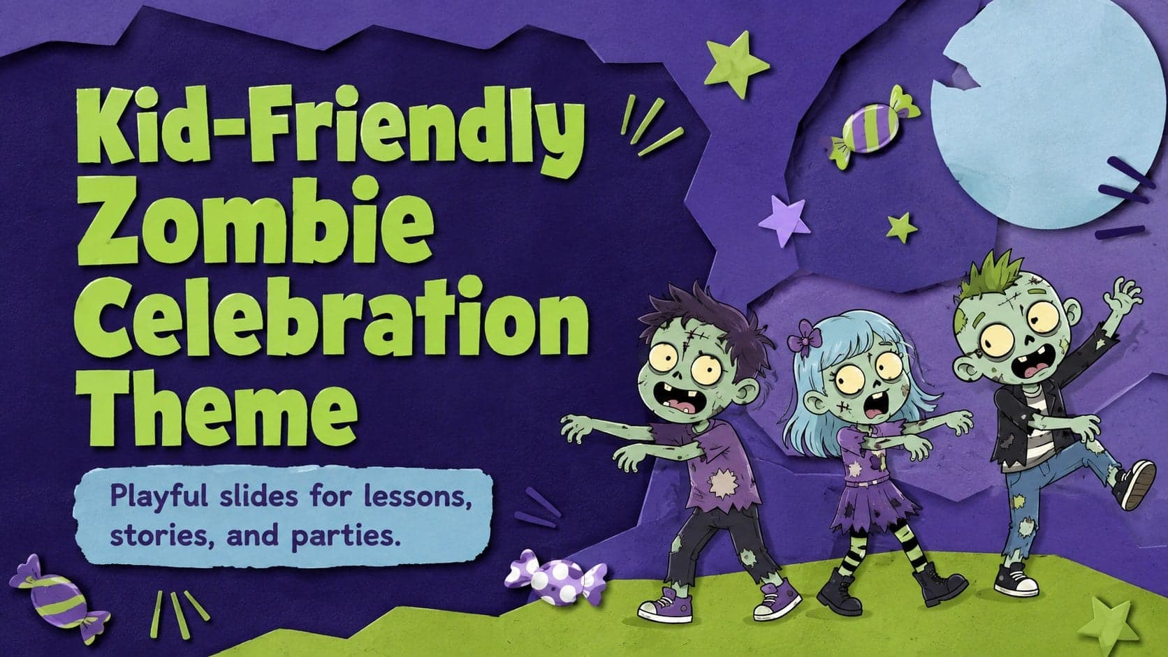
Build playful lessons and party stories with a kid-friendly zombie celebration theme in purple, green and pastel blue for PowerPoint and Google Slides.
 15
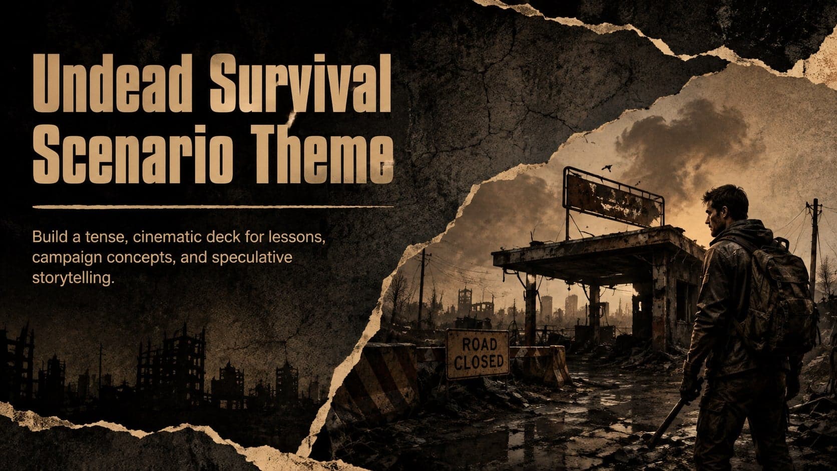
Build eerie lessons, campaigns, and story pitches with an undead survival scenario theme featuring editable slides for PowerPoint and Google Slides.
 16
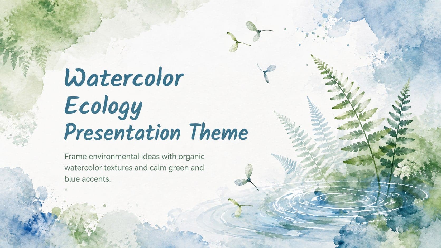
Turn environmental research into a clear story with a Watercolor Ecology Presentation Theme for PowerPoint and Google Slides in calming green and blue.